Requires Registration–Registration Form
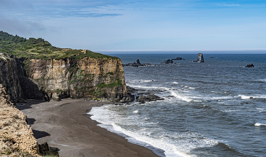
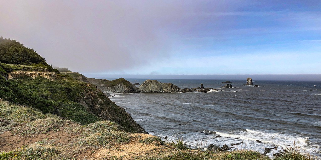
This hike is just over 5 miles long, across fairly level terrain, with great views along the way.
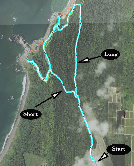
For this hike we’ll start at the Cape Blanco State Airport (see directions below), and hike parallel to the runway for a while before heading North, and then looping around toward the shoreline, where we’ll have some of the hike’s best views. Then we’ll continue to Blacklock Point, returning by a shorter trail.
There will be a short option that starts along the same path as the rest of the group, but skips the longer loop, proceeding directly to Blacklock Point. That is an out and back hike, totaling 4 miles altogether.
The differences are shown on the map below.
Dress in layers, windbreaker with a hood is highly recommended. Bring water and something to eat (lunch or a snack.). There are no restrooms at the trailhead, but there are several well protected areas along the way.
Plan on 3 hours for this hike, depending on how clear the day is (there are lots of photo opportunities on a clear day, which could slow us down).
Hike Guidelines
- Hike groups will be limited to about 15 people. That’s to make it easier to keep track of everyone as we reach turns.
- You will be asked to complete a registration form so that we can control the number.
Location and Time
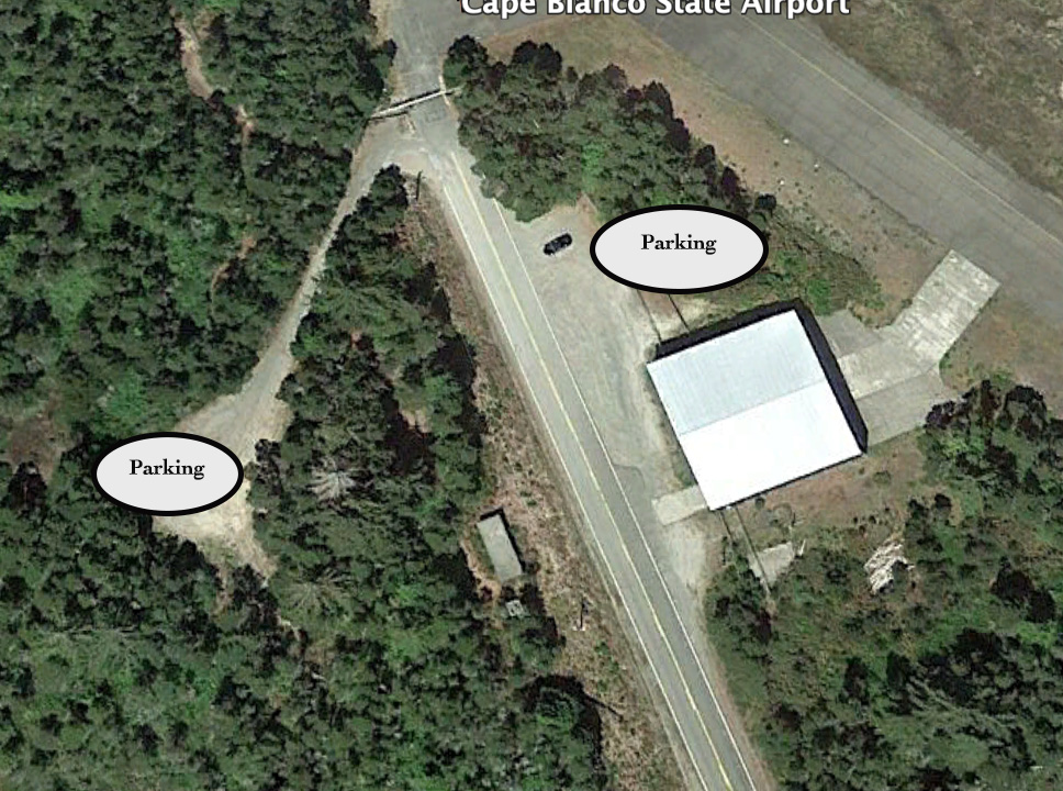
Meet at 10:00 on Saturday, July 27 at the trailhead just outside of the Cape Blanco Airport Entrance. For those of you heading south on 101, you will turn on Airport Road, about 20 miles south of Bandon. Then follow Airport Road for about 3 miles. If you’re heading North, the turn on Airport Road is about 7.2 miles from Port Orford. Airport road is directly across from Pacific High School.
There are two parking areas. The one on the left isn’t as obvious, but if there are a lot of cars, we may need to use it.
Remember to complete registration form.