Saturday, October 5, 2024
Registration Required. Register here
The Hikes: The Sweet Creek/Beaver Creek area offers hikers a smorgasbord mountain stream and waterfalls experience. There will be 3 different hikes all of which are out and back on the same trail and rated moderate.
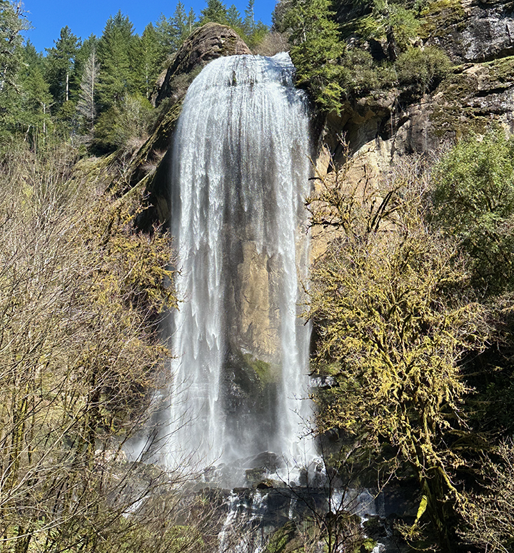
- The first will be a 1.2 mile hike to a viewpoint of Beaver Creek Falls.
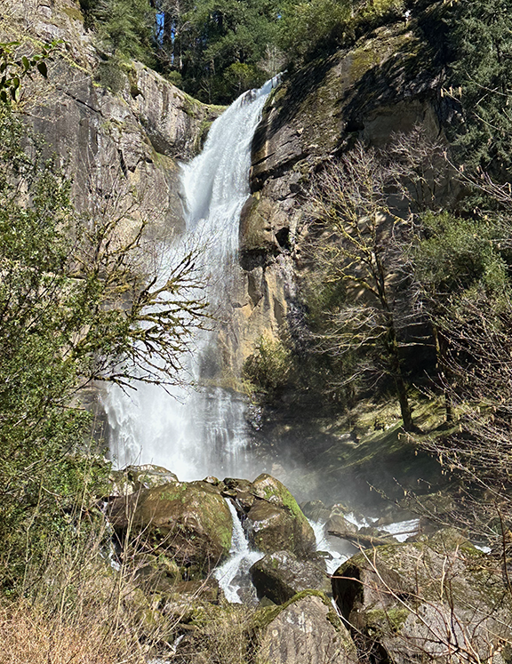
- The second hike will be 1.6 miles to Sweet Creek Falls. Note–There was a tree blocking the trail, but it has been cleared. The root ball that’s left is slippery, but passable.
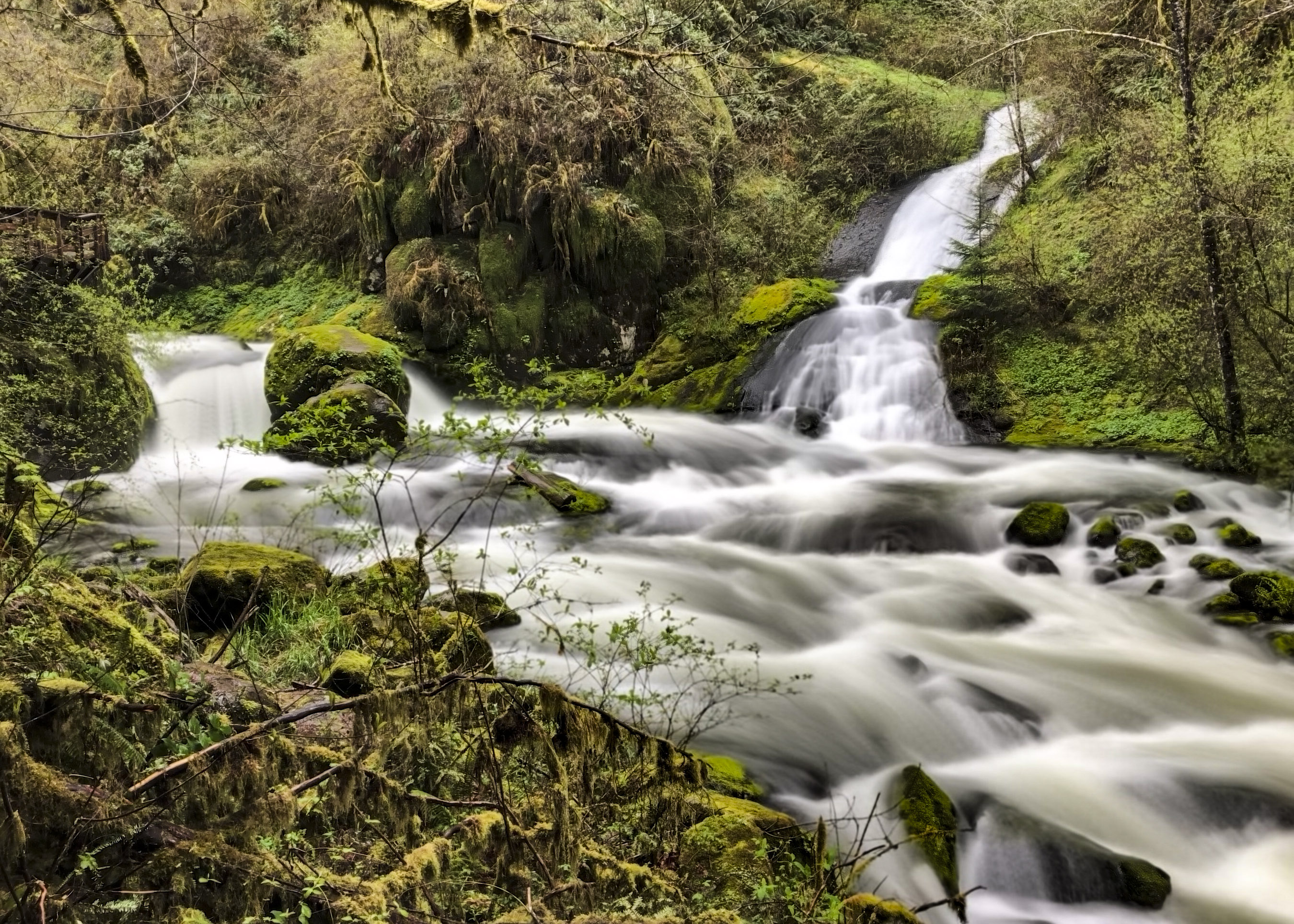
- The final and best hike of the day will be a hike along Sweet Creek on a trail that meanders along the water and is a chance to see tributary falls that feed the creek, as well as the main attraction. This hike will be a little different from past hikes on this trail. There is a bridge failure along the way, so we’ll be starting at the second parking lot. We’ll still see some gorgeous views.
All together you will hike 4.6 miles for the day as you enjoy 3 beautiful waterfall views.
Since the hikes are all “out and back” you can cut any of the hikes short and return to the parking area if you are getting tired. Plan on 4 hours for all the hikes—starting for home around 2pm.
Bring lunch and water and rain gear, dress in layers, and wear sturdy boots (waterproof is good
Location and Time
Saturday, October 5–Meet at Oregon Dunes Visitor Center in Reedsport at 9:15. We will consolidate, if possible, and caravan from there, so arrive early so that we can group up.
Directions: From Coos Bay Visitor Center in downtown Coos Bay travel 26.6 miles N on Hwy 101. Visitor center is on left directly opposite the turnoff for Hwy 38. We will consolidate vehicles and leave from the Dunes Visitor Center at 9:15, reaching the Beaver Creek Falls trail head at about 10:30 (with one rest stop along the way).
Note: If you want to meet us at the trailhead, you can plan to be at the Wagon Road Trailhead at 10:30. Let us know if you plan to do this. (There is a space on the registration form to do this)
Registration Requested. Register here